
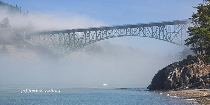
Photographic images near Whidbey Island, Washington, U.S.A.
Wednesday, February 29, 2012
Growlers over Mt. Baker

Monday, February 27, 2012
February Sunrise

Sunday, February 26, 2012

Friday, February 24, 2012
Whidbey Island Storm

Thursday, February 23, 2012
Mt. Baker from Whidbey Island

Wednesday, February 22, 2012
Using ICE for Panorama Stitching
Who doesn't like a free program to do amazing feats with your digital images? Today I tried a free download from Microsoft, ICE, or Image Composite Editor. Here is the result of combining ten JPEG images.
 I left the image as it was finished in ICE, dust spots and all. I did crop slightly, in ICE, but see now I left a bit of error cropping at either end.
The positives about this program: it was fast, much faster than, say, Elements. The quality for web viewing is great. For free, it is wonderful and allows anyone to try making a panorama.
The negatives: the resulting file is much smaller than would be produced in Elements. The end file was 5.11 MB, smaller than each of the ten JPEGs. If you need the several hundred MB images that Elements produces, this program will not work for you.
So, get out your camera, put it on a tripod, take a series of overlapping images, load them into ICE, and you have your panorama. You can even go further and make an interactive 360 view using Microsoft Silverlight - but that is for another day.
(Note: the above image has been greatly reduced in Paint to an 82 KB file. I do that so no one is tempted to "take" the image and use it.)

The positives about this program: it was fast, much faster than, say, Elements. The quality for web viewing is great. For free, it is wonderful and allows anyone to try making a panorama.
The negatives: the resulting file is much smaller than would be produced in Elements. The end file was 5.11 MB, smaller than each of the ten JPEGs. If you need the several hundred MB images that Elements produces, this program will not work for you.
So, get out your camera, put it on a tripod, take a series of overlapping images, load them into ICE, and you have your panorama. You can even go further and make an interactive 360 view using Microsoft Silverlight - but that is for another day.
(Note: the above image has been greatly reduced in Paint to an 82 KB file. I do that so no one is tempted to "take" the image and use it.)
Tuesday, February 21, 2012
Cascade Mountains from Whidbey Island

I grew up on a farm walking distance from here. As a child, I would often come to this hill and contemplate this inspiring view.
Subscribe to:
Posts (Atom)