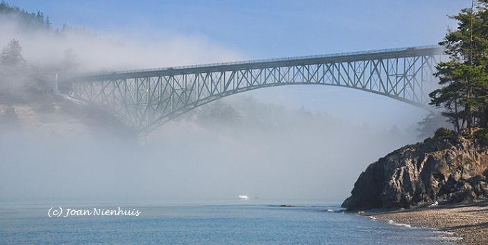
When one looks on a state highway road map, topography is not given. I had no idea that, as we were driving north on Oregon Highway 3 and then Washington Highway 129, we would encounter switchbacks with a great elevation drop and gain. Above is the bridge over the Grande Ronde River, just north of the Oregon-Washington border.
This was the view later, looking back down to that valley. The river is at the right edge of the photo.
Now that I look at the map more closely, I guess I should have noticed that the intensely squiggly line meant lots of curves and elevation change. I noticed that on motorcycle adventure web sites this road gets a high rating. 


No comments:
Post a Comment