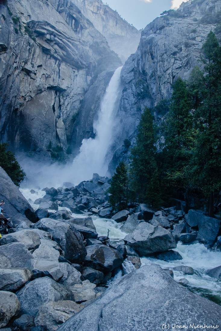
There were many views of the valley along the trail. It was from this vantage point that I could really grasp the full height of Yosemite Falls.
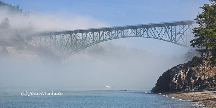
Photographic images near Whidbey Island, Washington, U.S.A.
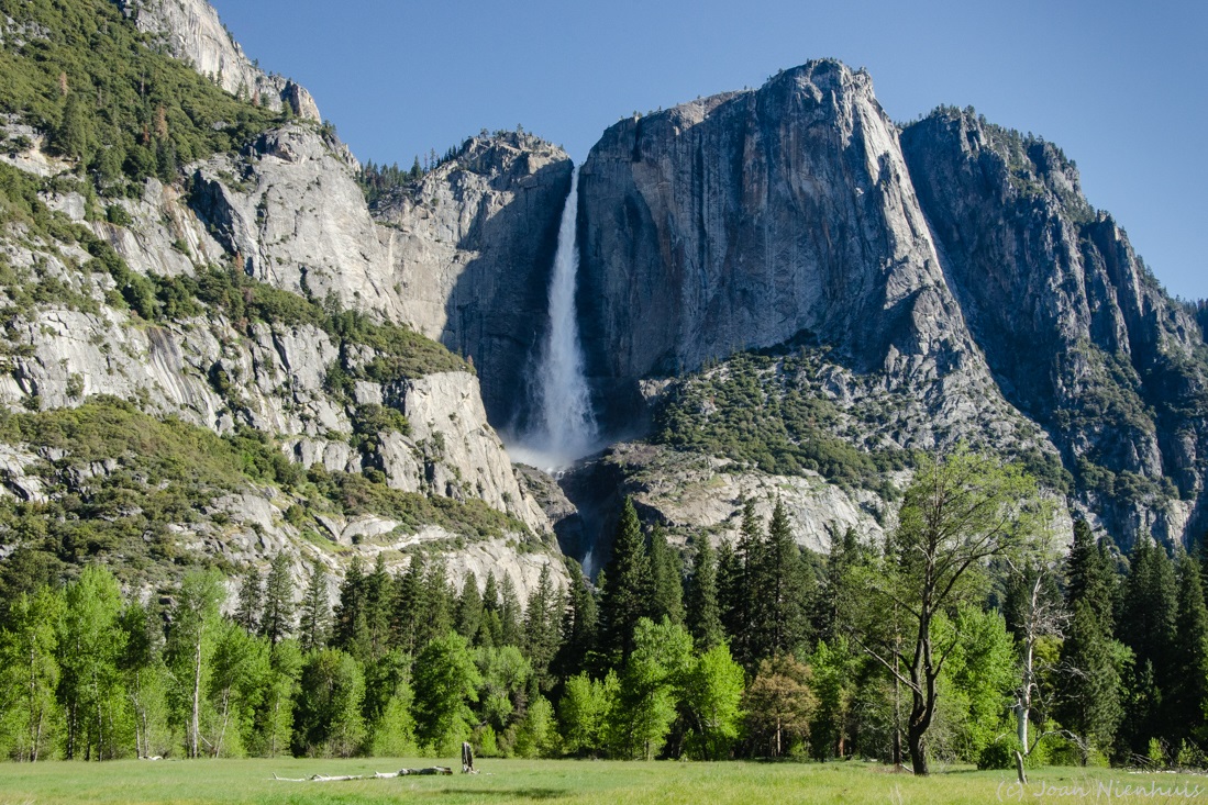
There were many views of the valley along the trail. It was from this vantage point that I could really grasp the full height of Yosemite Falls.


 The early morning light was not the best for views of Half Dome, Liberty Cap, Vernal Fall and Nevada Fall. It was interesting to get a view of the back side of Half Dome.