Showing posts with label hike. Show all posts

Saturday, February 1, 2020

Deschutes River Trail

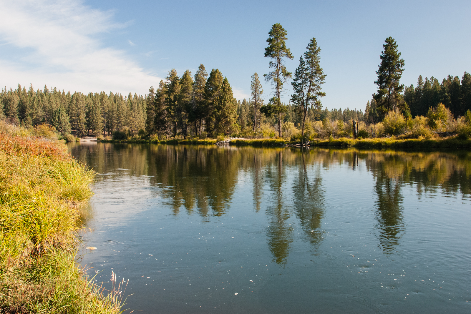
A nice hike to take while in Bend, Oregon is along the Deschutes River.
Part of the hike is in town but heading south, we felt like we were away from the crowd.

Wednesday, December 25, 2019

Christmas Day Hike: Ebey Bluff Loop Trail

I parked at the Prairie Overlook and headed along the Ridge Trail to the Ebey Bluff.
At the bluff, I followed the bluff trail to the west. This is looking back east toward Ft Casey.
Perego's Lake came into view as I continued west along the bluff.
The trail descends to the beach at the west end of the loop. The view is to the east.
This view is west at the base of the trail to the beach.
Looking back to the west as I continued east along the beach part of the trail. Can you spot the switchbacks on the bluff?
Having reached the east end of the loop at Ebey's Landing State Park, I headed back west along the ascending bluff trail.
The complete hike was 5.18 miles. Even on an overcast day when the Olympics, Cascades and Mt. Baker were not visible, it was a refreshing hike.

Saturday, October 6, 2018

Shevlin Loop Trail, Shevlin Park

Shevlin Park is along Tumalo Creek northwest of Bend. We followed the trail along the east rim of the canyon
and were treated to a rainbow over the Cascades to the west.
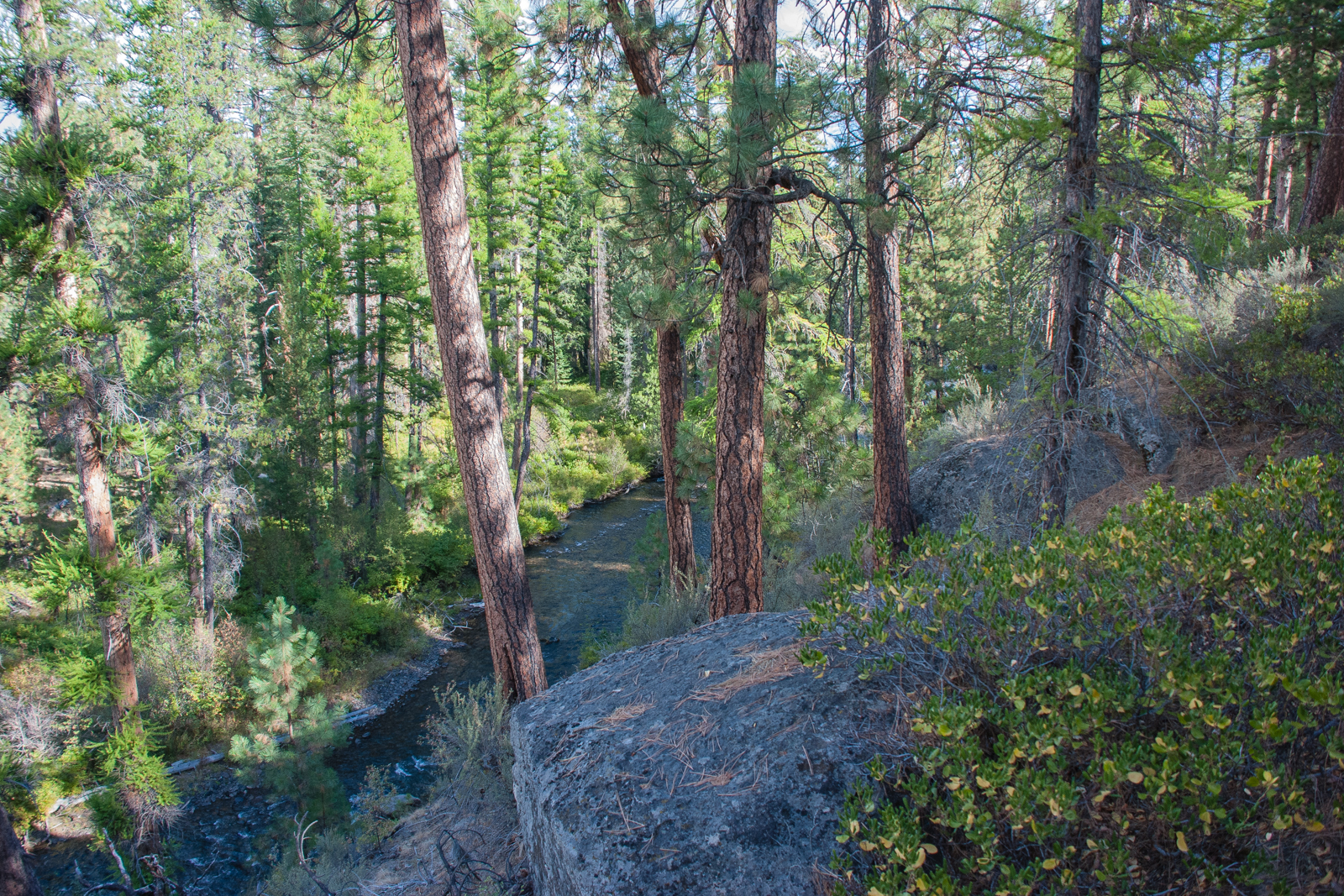
This part of the hike was above the creek.
The forest setting was wonderful.
We dropped down and crossed the creek and followed the trail on the west side of the creek.
We passed by Fremont Meadows where government explorers, including Kit Carson, camped in 1843. (Yes, my niece and sister are always waiting for me as I take my photos.)
Do you see the girl peeking out of this covered foot bridge?
We could see evidence of planned burning as we neared the end of the hike.

Thursday, October 4, 2018

Deschutes River Trail Hike

We hiked along the Deschutes River from Dillon Falls to Lava Island during a recent visit to Bend.
Some parts of the river are placid while others include white water.
I was surprised to see lava on the east side of the river, from the Newberry Volcano.
A very nice morning hike.
Thursday, August 16, 2018

Morning Walk

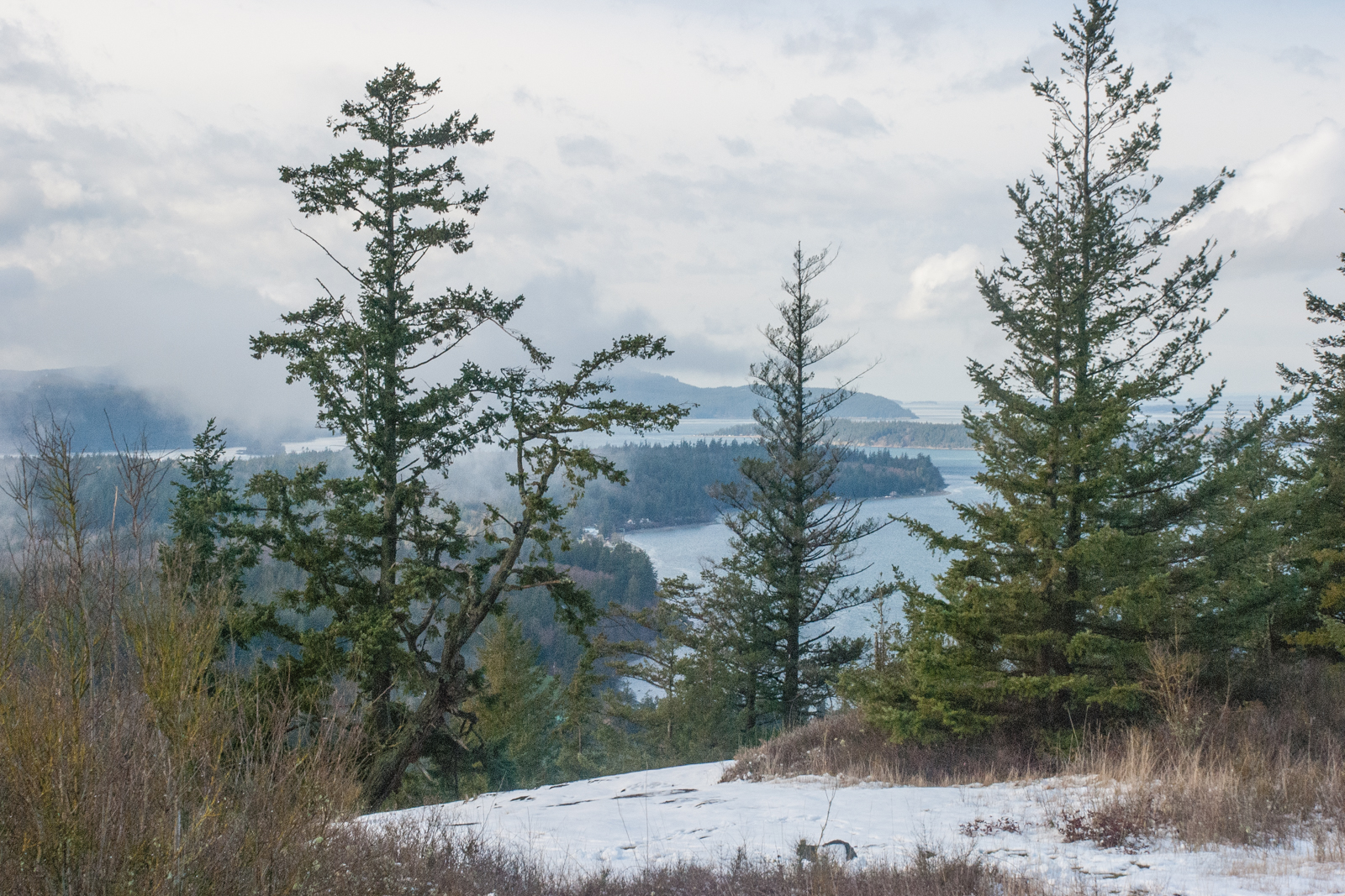
A view from our morning walks near Silver Lake last week.

Thursday, March 1, 2018

Guemes Mountain Summit Views

The summit, at about 660 feet elevation, offers partial views from the northeast to the southwest. We spotted several of the San Juan Islands and parts of Fidalgo Island.

Wednesday, September 27, 2017

Iron Goat Trail Hike: first Cascade Tunnel

The western portal of the first Cascade Tunnel is at the east end of the Iron Goat Trail. The 2.6 mile long tunnel was completed in 1900 and used by the Great Northern Railway until 1929. The company had decided in the mid-1920s to build a new tunnel at a lower elevation to avoid the harsh winter snow. The western portal of the second Cascade Tunnel is shown below, as seen from the Iron Goat Trail. It was completed in 1929 and is 7.8 miles long.

Tuesday, September 26, 2017

Iron Goat Trail Hike: the Snowshed


Going through the all concrete snow shed near the east end of the trail was an eerie experience. Great Northern Railway trains passing through were protected from heavy snowfall and possible avalanche until this line was abandoned in 1929.


The shed shows deterioration on the west end.

Monday, September 25, 2017

Iron Goat Trail Hike: trail views

Much of the trail followed along the side of tall snow barriers. This part of the trail is relatively flat, gaining only 300 feet in over two miles.
Mileposts indicate the distance from St. Paul, Minnesota.
We passed by this collapsed wooden show shed. It had been built in 1910 and was left when the line was abandoned in 1929.
The wild flowers were beautiful. Some of the path was overgrown and we fought stinging nettles. 

Sunday, September 24, 2017

Iron Goat Trail Hike: the Butterflies

The only animals we saw on the hike were a couple of butterflies.

Iron Goat Trail Hike: the Name

The Iron Goat Trail gets its name from the symbol of the Great Northern Railway company. It follows the railroad grade used by the trains on the west side of the Cascade Mountains from 1900 to 1929.
While the rails are long gone, one can still see evidence of the railroad line along the trail.