Showing posts with label Yosemite. Show all posts

Saturday, June 11, 2016

Yosemite: Hetch Hetchy

In the northwestern corner of Yosemite National Park is Hetch Hetchy, the Tuolumne River watershed. It's the "other" scenic valley in the national park.
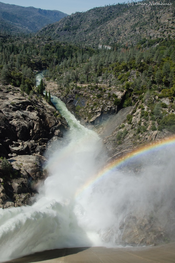
The National Park, established by Congress in 1890, has a long standing relationship with San Francisco. The O'Shaughnessy Dam was completed in 1922 and provides water and power for the city and county of San Francisco.
The Tueeulala Falls (upper) and Wapama Falls (lower) help fill the reservoir.
Hetch Hetchy Dome is at the center while Kolana Rock is to the right. This valley gives evidence to the debate. Should scenic valleys remain pristine for viewing by the many or should they be used (construct a dam) to provide water for some?

Friday, June 10, 2016

Yosemite: Merced Grove

The Merced Grove at the northwest part of Yosemite National Park has a nice selection of Giant Sequoias. There were fewer people at this grove and we thought the collection of trees was more impressive than Tuolumne Grove. There is more history associated with this grove too.


Thursday, June 9, 2016

Yosemite: Crane Flat Lookout

The Crane Flat Lookout and Helibase is a couple of miles from Crane Flat (gas station). The road to it is paved and the public is welcome.
The views of the Sierras were amazing.
As were the views to the north.
The need for a fire lookout was all to evident on the path we took from the parking lot to the lookout.

Wednesday, June 8, 2016

Yosemite: Tuolumne Grove


Mariposa Grove at the south end of the park was closed so we went to the two groves at the north. We went to the Tuolumne Grove first, shown here. We would later go to the Merced Grove which we liked much better. There were fewer people and more giant sequoias. 
Unfortunately, this giant had burned.
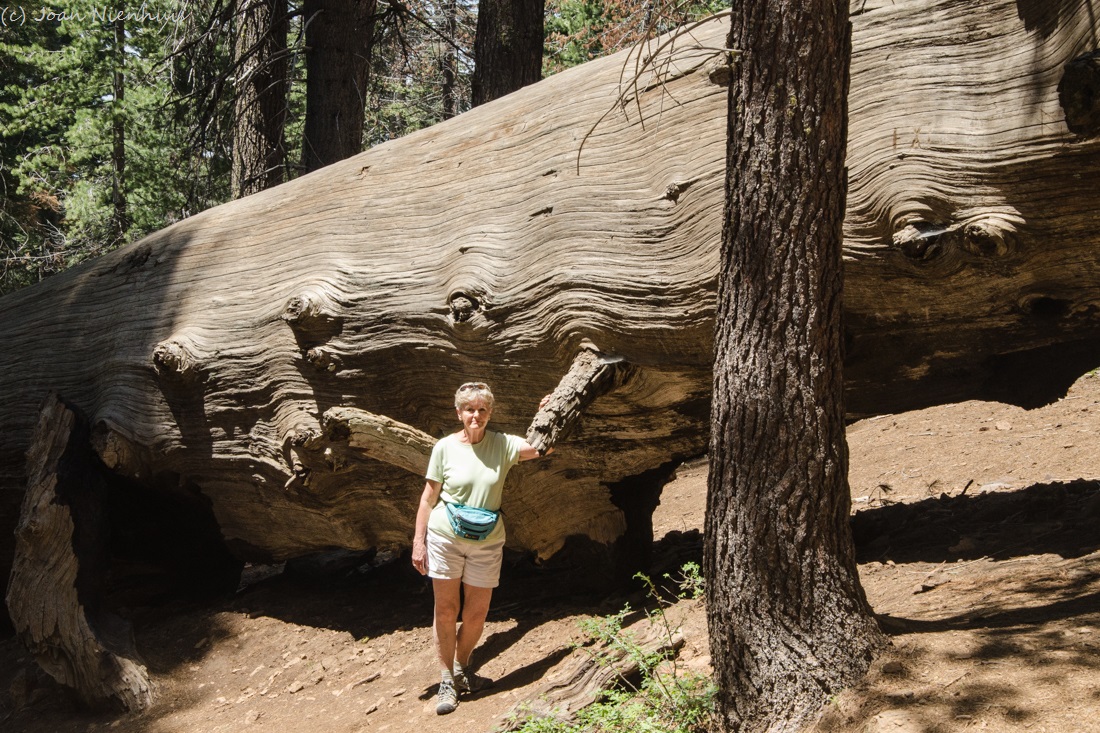
My sister (above) and niece (below) give a sense of the size of the trees.

Monday, June 6, 2016

Yosemite: Big Oak Flat Road

Our time in Yosemite Valley was over so we drove north on Big Oak Flat Road. The Mariposa Grove was closed so we headed to the groves at the north end of the park. This is a view south of the Merced River and Bridalveil Fall from the road.


The Cascades along the road.

Saturday, June 4, 2016

Yosemite: Mist Trail

The trail follows along the Merced River, swollen from the good snowfall in the winter.

Yosemite: Mist Trail

The last morning we were in the valley we hiked the Mist Trail. Our first view of Vernal Fall was from the bridge over the Merced River. Because of the good snowfall in the winter, the river was amazing.
The trail lived up to its name as we approached the fall. The infamous stone steps were very slippery so we did not continue around the bend. Even though I tried to keep my lens dry, it was nearly impossible.

There were rainbows galore from the mist.

Friday, June 3, 2016

Yosemite: The Majestic Yosemite Hotel (Ahwahnee)

We stayed at The Majestic Yosemite Hotel the two nights we were in the valley. It was built in 1927 and retains many of the original rugs, tapestries, and paintings. It was made of granite and stained concrete poured into molds to look like wood.
There are nearby views of Half Dome, Glacier Point, and other valley features. The name was changed from Ahwahnee Hotel this spring because of a trademark dispute with the outgoing management company.

Yosemite: Half Dome Dusk

Half Dome from the meadow near The Majestic Yosemite Hotel (Ahwahnee Hotel).
Thursday, June 2, 2016

Yosemite: Half Dome and the Merced River


The view from Sentinel Bridge.

Yosemite: Tunnel View in Black and White


Yosemite: Tunnel View

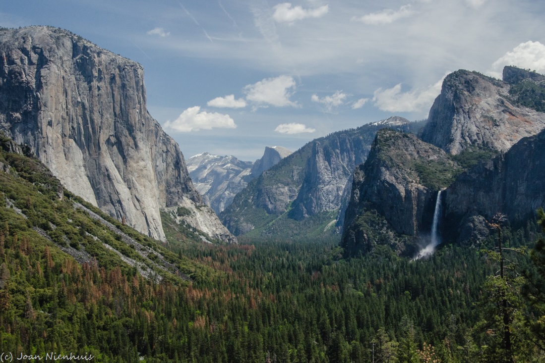
This is the classic view made well known by Ansel Adams. It is from the viewing area at the east end of the Wawona Tunnel on Wawona Road, at the west end of the valley. At the left is El Capitan. At the right are Bridalveil Fall and Leaning Tower. In the distance is Half Dome.

Wednesday, June 1, 2016

Yosemite: El Portal Road

We had this view of the Merced River as we were driving west on the Glacier Point Road. Notice the dead pine trees on the left hills. There have been many trees dying from a combination of drought and bark beetle infestation. 

Yosemite: Panorama Trail Views

We had great views of Mount Starr King with the Mount Clark and Clark Range in the background.
We also has good views of Nevada Fall, Vernal Fall, and Liberty Cap.

Yosemite: Panorama Trail Views

The trail with the most awesome views has to be Panorama Trail at Glacier Point.
We hiked down about a half mile. The views of Tenaya Canyon and Half Dome left me awestruck.