
Photographic images near Whidbey Island, Washington, U.S.A.
Wednesday, August 31, 2016
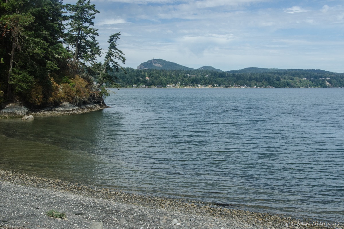
Whidbey Island Beach
Tuesday, August 30, 2016
Oak Harbor Dawn

Monday, August 29, 2016
Sunset the Whidbey Island Way

Sunday, August 28, 2016


Saturday, August 27, 2016


Friday, August 26, 2016

Thursday, August 25, 2016
Porteau Cove Provincial Park, B.C.
Porteau Cove is a popular place for water enthusiasts.


There are man made reefs and scuttled boats that divers frequent.

There is a tantalizing pier and lots of beach for walking.

It's a great place to stop on the Sea to Sky Highway from Vancouver to Whistler.

Wednesday, August 24, 2016
Serratus Mountain, British Columbia

Tuesday, August 23, 2016
Shannon Falls, British Columbia

The falls are next to the Sea to Sky Highway from Vancouver to Whistler. They can be seen from the highway but a stop at the provincial park was worth while.

Monday, August 22, 2016
Tantalus Range, British Columbia

Sunday, August 21, 2016
Chairlift to the Clouds

There were low clouds during most of my recent stay at Whistler. This lift to Blackomb was not very busy.
Saturday, August 20, 2016
Friday, August 19, 2016

Thursday, August 18, 2016
San de Fuca, Whidbey Island

Wednesday, August 17, 2016
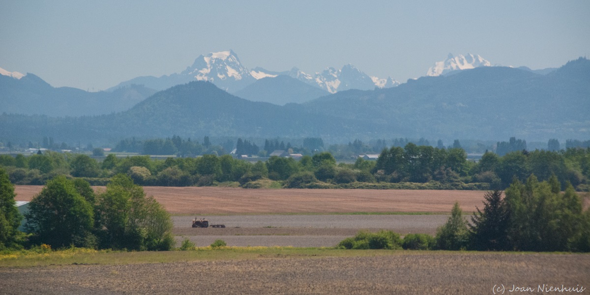
Skagit Valley Farmland
Tuesday, August 16, 2016
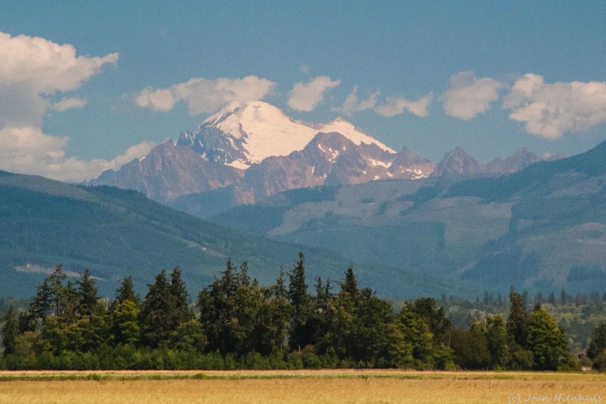
Mt. Baker

Monday, August 15, 2016
Cascade Dawn

Sunday, August 14, 2016

Saturday, August 13, 2016
Fort Ebey State Park, Whidbey Island

Friday, August 12, 2016
Ebey's Landing

Thursday, August 11, 2016
Wednesday, August 10, 2016
Admiralty Head Lighthouse, Fort Casey State Park

Tuesday, August 9, 2016
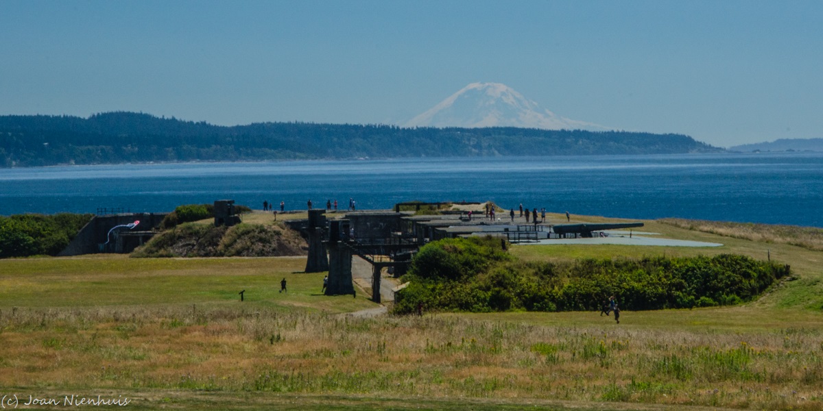
Fort Casey State Park


This photo is from the end of July.
Monday, August 8, 2016

Sunday, August 7, 2016

Saturday, August 6, 2016

Friday, August 5, 2016

Thursday, August 4, 2016
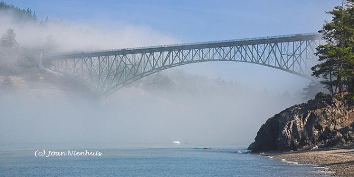
Kiket Trail, Swinomish Reservation

 The Kiket Trail is on Kiket Island, off Snee Oosh Road. It is a joint venture of the Swinomish Indian Tribal Community and Washington State Parks. After crossing the isthmus, I took the North Trail to the western point of the island. It offered the above view of Deception Pass Bridge. This trail had a bit of elevation gain.
I took the South Trail back to the parking lot. This trail was almost level. There is also a gravel road that goes down the center of the island.
Kiket Lagoon is part of a wildlife sanctuary near the beginning of the trail.
Wednesday, August 3, 2016

Tuesday, August 2, 2016
Dunes Trail, Deception Pass State Park


Monday, August 1, 2016
Deception Pass Bridge

Subscribe to:
Posts (Atom)